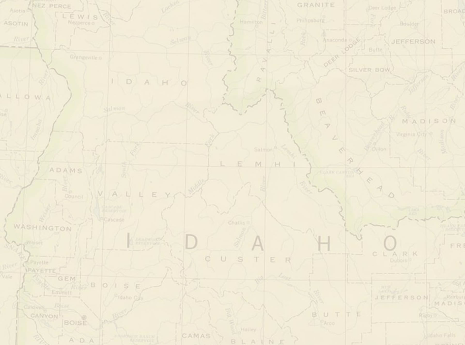
Directions to Stanley from Boise Airport
Get a map! Most car rental agencies have them or gas stations.
Go ~7 miles North on highway 84 to Eagle Exit, go East (right at exit)
Drive ~5 miles to State street and take a right
Drive ~1 mile to Highway 55 and take a left, going towards McCall
Drive ~35 miles and take a right on the Banks to Lowman road in Banks.
Drive ~30 miles and take a left on Highway 21
Drive 59 miles to Stanley
Directions to Boise Airport from Stanley
Go west on HWY 21 to Lowman (59 miles)
Take a right on Banks Lowman Road in Lowman
Take a left on highway 55 after ~30 mi
Take a right on State street in Boise after ~35 mi
Go ~ 1 mi to Eagle and take a left
Go ~5 miles to highway 84 and go South to the airport (~7 miles)
Estimated time is 3 hours, but less windy than taking HWY 21 direct from HWY 84.
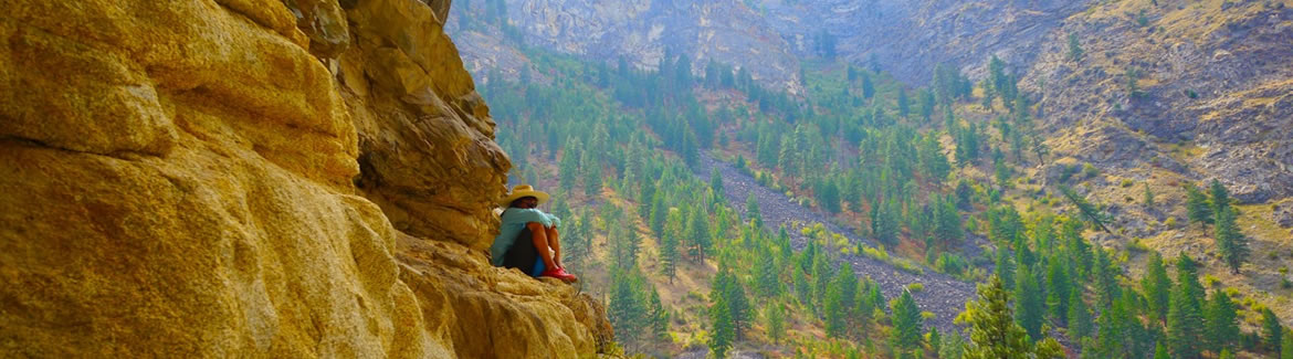
Hiking around Stanley (best day hike in the US!)
Alpine Lake (7 mi Roundtrip) and Sawtooth Lake (10 mi Roundtrip)
Alpine Lake- go west on HWY 21 2.6 mi and take left on Iron Creek Rd., drive ~3.2 mi and park at trailhead parking lot. Hike 1 ¼ mi. and take a right and hike another ¾ mile to a junction and take a left, hike up some switchbacks and then cross a stream (Iron Creek) after 1 mile and then continue up ½ mile to Alpine Lake. You can continue an extra 1 ½ mi to Sawtooth Lake. Elevation gain is ~1,100 ft to Alpine and another 700 ft. to Sawtooth Lake.
Safe Driving and Happy Hiking!
Cheers,
James Ellsworth
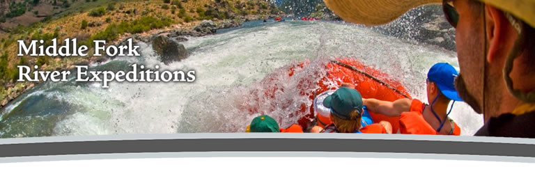
Middle Fork River Expeditions
800-801-5146